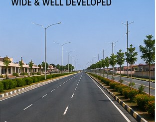
SH-37A / Dudu–Malpura Road
Use the state-highway corridor as the primary verified road-connectivity story for Mangalwada and Dudu.
Explore the regional growth story around Phulera, Mangalwada, Dudu, Sambhar and surrounding villages — shaped by road connectivity, railway access, logistics activity and long-term infrastructure development.
The opportunity is best understood as a network of towns, villages, state roads, railway infrastructure and regional commercial centres rather than as a single isolated location.
Mangalwada is highlighted because it sits within the wider Dudu growth belt and is relevant to the SH-37A / Dudu–Malpura road network. For buyers researching land, this creates a useful framework for studying access to Dudu, Phulera, Sambhar and other regional centres.
Use the state-highway corridor as the primary verified road-connectivity story for Mangalwada and Dudu.
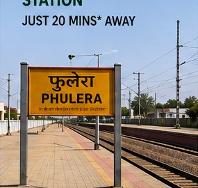
Phulera provides the region with important railway context and connects the land story to wider passenger and freight movement.
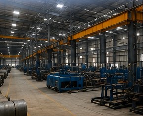
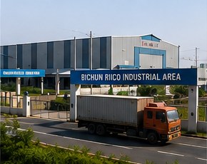
Better regional connectivity can support transport, storage, warehousing and commercial services where land use permits.
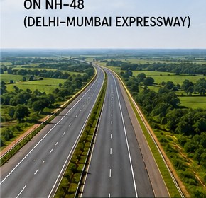
Major national road programmes strengthen Rajasthan’s wider transport network. We distinguish this regional influence from any unverified direct alignment claim.
Road access, railway connectivity, actual land use, government planning, title and market demand matter more than promotional claims.

Tell us the location and type of property you are researching.